Day useOfficial dataVICUpdated 28 May 2026
Bracks Bridge
No rating yetBe first to reviewBracks Bridge is a picnic area in VIC. This page helps you check facilities, access, location, and nearby protected areas before visiting.
Show distance and driving time.
Facilities
Compact official facts for planning. Unknown means the source has not confirmed it yet.
Confirmed source layer
CampingUnknown50%BookingNot required100%ShowersUnknown50%Hot waterUnknown50%WaterUnknown50%BBQAvailable100%TablesAvailable100%ShelterUnknown50%PowerUnknown50%Open fireAllowed100%
Official details
Full official description
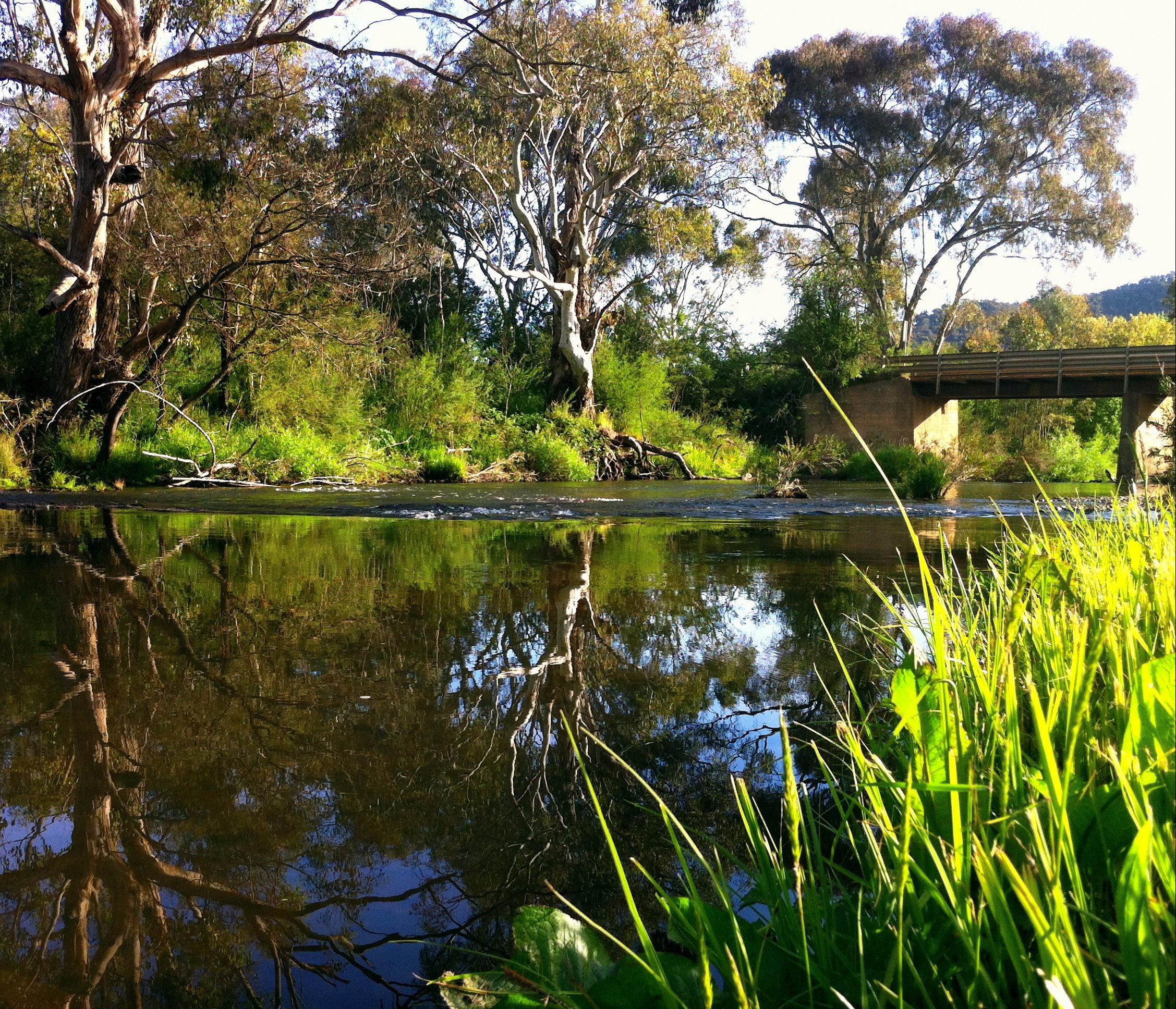
This site is a stunning area and very popular in the summer months, when you arrive you’ll see why. The area is located next to the Delatite River with water birds and shady trees galore, there is plenty of room to let the kids out and run around to stretch their legs. This site will keep you coming back for more.
From Goughs Bay head towards Mansfield turning left on the Piries-Goughs Bay Rd and then immediately right onto Howes Creek – Goughs bay Rd. Follow Howes Creek – Goughs Bay Rd before coming to Bracks Bridge on the left.
Wildlife signals
Wildlife signalAI extracted wildlife signal from official/source text75%
Setting and activities
BeachUnknown50%FishingAvailable100%SwimmingAvailable100%WalksAvailable100%PlayUnknown50%PetsUnknown50%
Trip planning FAQ
Where is Bracks Bridge?
Bracks Bridge is listed in MANSFIELD, VIC.
What facilities are available at Bracks Bridge?
The available source data confirms toilets, BBQ, picnic tables, fishing, swimming.
Is Bracks Bridge suitable for a picnic or short stop?
The available source data includes picnic tables, BBQ, toilets, picnic area listing. Check the official source before travelling for current access conditions.
Reviews
Wildgrounds reviews are moderated. Google reviews and photos stay live and separate.
No review rating yet
Ratings combine Wildgrounds and Google source averages when available.
Loading Google reviews and photos...