Day useOfficial dataNSWBega ValleyUpdated 28 May 2026
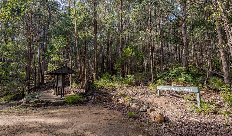
Pheasants Peak Trackhead
No rating yetBe first to reviewPheasants Peak Trackhead is a picnic area in NSW. This page helps you check facilities, access, location, and nearby protected areas before visiting.
5Camping0Stays3Day use
Show distance and driving time.
Facilities
Compact official facts for planning. Unknown means the source has not confirmed it yet.
Confirmed source layer
CampingUnknown50%BookingUnknown50%ShowersUnknown50%Hot waterUnknown50%WaterUnknown50%BBQUnknown50%TablesUnknown50%ShelterAvailable100%PowerUnknown50%Open fireUnknown50%
Official details
Full official description
Prohibited: Pets Pets and domestic animals (other than certified assistance animals) are not permitted. Find out which regional parks allow dog walking and see the pets in parks policy for more information. Smoking NSW national parks are no smoking areas .
Wildlife signals
No approved wildlife reports yet.
Setting and activities
BeachUnknown50%FishingUnknown50%SwimmingUnknown50%WalksAvailable100%PlayUnknown50%PetsNot allowed100%
Trip planning FAQ
Where is Pheasants Peak Trackhead?
Pheasants Peak Trackhead is listed in Bega Valley, South Coast, NSW near South East Forest National Park.
What facilities are available at Pheasants Peak Trackhead?
The available source data confirms shelter.
Is Pheasants Peak Trackhead suitable for a picnic or short stop?
The available source data includes picnic area listing. Check the official source before travelling for current access conditions.
Reviews
Wildgrounds reviews are moderated. Google reviews and photos stay live and separate.
No review rating yet
Ratings combine Wildgrounds and Google source averages when available.
Loading Google reviews and photos...